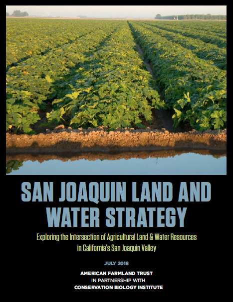
California’s San Joaquin Valley is one of the most productive agricultural regions in the world, but it’s facing numerous challenges. Water availability, a variable climate, new regulations, and a growing population threaten the future of agriculture in the region. In order to help planners, municipalities, and natural resource agencies support the agricultural community where it is most vulnerable, American Farmland Trust, California and the Conservation Biology Institute (CBI) assessed the capacity and resilience of agricultural production in the valley. This work was completed by analyzing the current distribution of quality agricultural land and water resources as well as the future impacts these resources face. Using the San Joaquin Valley Gateway, part of the Data Basin online mapping platform created by CBI, as a baseline for current trends in water, agriculture, biodiversity, and energy, AFT and CBI created a spatial analysis reflecting how agricultural land and water resources intersect in the valley.
Based on the data analysis of the San Joaquin Land and Water Strategy, in 2020 AFT and CBI developed the Project Prioritization Tool as a conservation decision-making support tool to help increase the adoption of water infiltration practices, improve groundwater recharge, and protect agricultural land in the San Joaquin Valley (SJV). The manual and quick-start guide on how to use the tool are available below.


