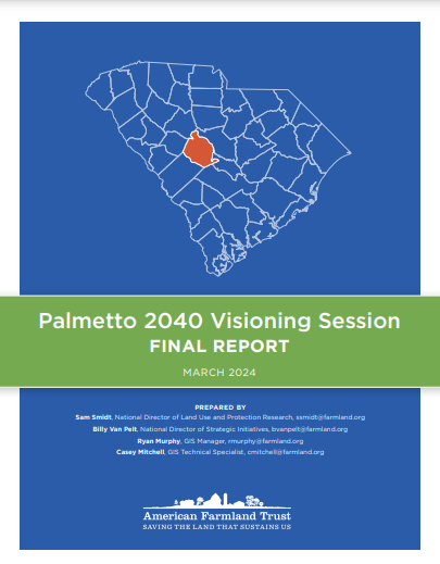
American Farmland Trust (AFT) used geospatial mapping and land cover analysis to identify how farmland in Lexington County, South Carolina, would fare under alternative development scenarios. Meeting with county stakeholders, AFT determined their land-based conservation priorities. AFT then developed a Localized Values (LV) map layer to visualize their priorities and recommend potential policy solutions for reaching the most optimal path for future development regarding agricultural conservation.
The analysis combines three data layers from AFT (2016 land cover data, future scenarios of development and solar suitability) with other land cover and land use data like waterways and wetlands. Most of the data are derived from Farms Under Threat, AFT’s multi-year initiative to document the status of and threats to agricultural land while offering policy solutions to protect that land.


