Sample Conversion Risk Map - FIC

We’ve detected that you are using an outdated browser.

Please use a new browser like Chrome, Firefox, Safari or Microsoft Edge to improve your experience.

We’ve detected that you are using an outdated browser.

Sample Documents

Sample Conversion Risk Map

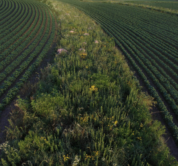
This map indicates how an agricultural property is at risk for conversion and its proximity to other protected agricultural land.

Downloadable Documents
Document Type
ACEP-ALE Eligibility Documentation
State
National

Visit American Farmland Trust

Get engaged and receive the information you need right in your inbox.